Witness the Evolution of Air Traffic Surveillance
Discover how Aireon’s space-based ADS-B data brings unmatched, real-time, global coverage to aviation, revolutionizing safety, efficiency, and sustainability.

Aireon is the pioneer of space-based automatic dependent surveillance-broadcast (ADS-B) data for the aviation industry
Aireon’s one-of-a-kind ADS-B data stream is bringing unprecedented levels of safety, efficiency, and environmental responsibility to a wide range of customers in the aviation industry, including air navigation service providers, airlines, airport operators, airframe manufacturers, system integrators, and military and intelligence agencies.
With its portfolio of diverse products, Aireon is enabling new levels of insight into air operations around the globe, leading to more data-driven decision making.
Backed by the world’s leading air navigation service providers

Whitepaper
En-route turbulence detection using Aireon space-based ADS-B
Turbulence events are increasing—and airlines often don’t know until the aircraft has landed. Discover how Aireon’s space-based ADS-B data can detect severe turbulence globally, in near real time, allowing for more rapid response strategies.
Download the white paper.
DownloadWhitepaper
Enhancing extended arrival management with space-based ADS-B
Learn how space-based ADS-B data enables earlier, fuel-efficient sequencing to support safe, on-time arrivals.
Download the white paper.
DownloadWhitepaper
Observations of trends in GPS anomalies affecting aviation
From spoofing over the Black Sea to jamming in Idaho—Aireon sees it all. This white paper reveals how GPS anomalies are evolving, and how global surveillance data can help mitigate the risk.
Download the white paper.
Download
Whitepaper
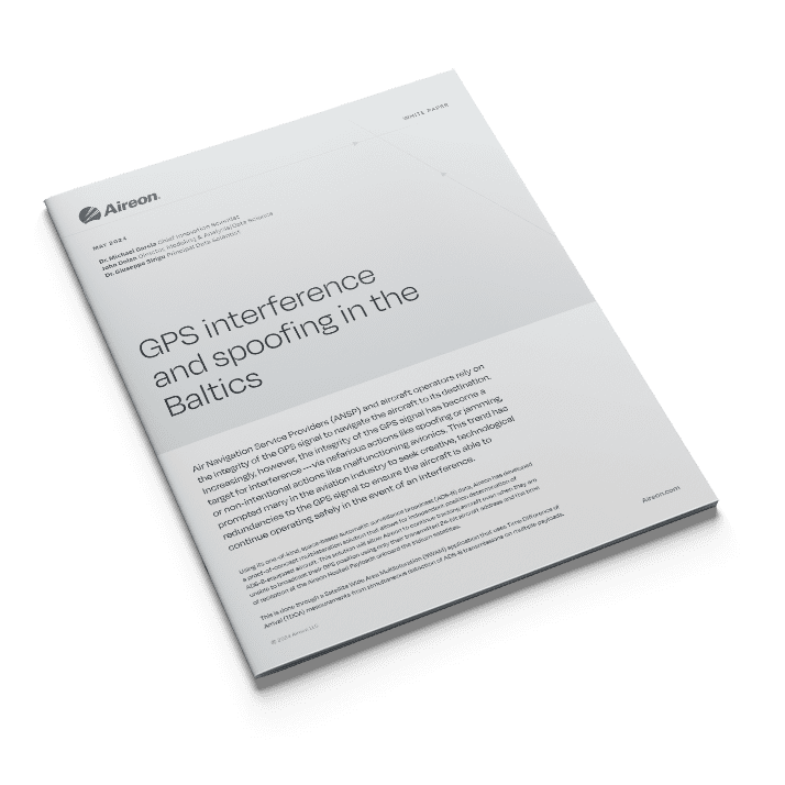
GPS Interference, Spoofing in the Baltics
Air Navigation Service Providers (ANSP) and aircraft operators rely on the integrity of the GPS signal to navigate the aircraft to its destination. Increasingly, however, the integrity of the GPS signal has become a target for interference.
One such example illustrated in the Aireon data of GPS interference occurred between Dec. 25 and 26 with aircraft flying in the Baltic and Russian airspace.
Learn more via this white paper.
Download
Our products combine the highest quality data with valuable insights


Event-based flight information
AireonINSIGHTS family of products — including Aireon Locate — put the power of our dataset into your hands. Whether you are a first responder needing to locate an aircraft with Aireon Locate or an operator wanting to ensure the integrity of the GPS signal in your airspace, AireonINSIGHTS is there for you.


Real-time GPS interference detection
AireonVECTOR is a suite of products that uses Aireon’s space-based ADS-B data to detect and visualize GPS interference—such as jamming and spoofing—in real time. By generating a GPS-independent “truth position” of aircraft, AireonVECTOR empowers aviation stakeholders with the insight needed to monitor, mitigate, and respond to navigation threats.
Want to know more about our data?
If you’d like to know more about how Aireon data can help you and your airspace operations, fill out the form below and we’ll be in touch as soon as possible.
"*" indicates required fields